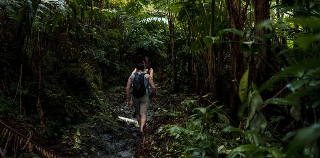
RIDGE TO REEF TRAIL
Connecting Natural Protected
Areas and Communities in
Northeastern Puerto Rico.
We will connect the Northeast of Puerto Rico
VISION
Have a ridge to reef recreational and educational trail, that is sustainable (socially, environmentally, and economically), accessible and of high quality. Its users will have access to experiences, adventures, discoveries, knowledge, variety of accommodations, connections, and a sense of accomplishment.
MISSION
Implement a trail system necessary to diversify ecotourism options, allowing to experience the natural and cultural wealth of the region, helping to conserve areas of high ecological value, promoting economic development and community benefit, and increasing socio-ecological awareness and knowledge of the natural areas and communities to which it will provide access.

Partners


The project is located in the northeastern part of the Commonwealth of Puerto Rico, in the municipalities of: Fajardo, Luquillo, and Río Grande (see attached map for geographic reference).
These three municipalities have considerable land within El Yunque National Forest (commonly known as El Yunque), the only tropical rainforest in the U.S. National Forest System. The region features a matrix of open space, protected lands, developed lands, and agricultural areas covering the Luquillo Mountain range, the Northeast floodplain, and a coastal zone.
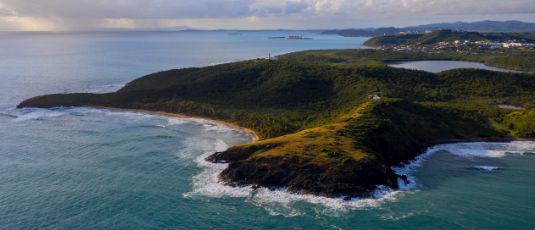
Four important protected areas within the proposed project region include El Yunque National Forest, the Northeastern Ecological Corridor, Cabezas de San Juan Nature Reserve, and Espíritu Santo Nature Reserve.
LAND USE:
The northeast region of Puerto Rico is a matrix of open space, protected lands, developed lands, and agricultural areas covering the Luquillo Mountain Range, Northeast floodplain and coastal zone.
The municipalities of Rio Grande, Luquillo and Fajardo have considerable land within El Yunque National Forest (El Yunque), the only tropical rain forest in the U.S. National Forest system.
These municipalities are located within an urban area or densely developed territory as defined by the Census Bureau. These consist of residential, commercial, and other non-residential urban land uses with high-density population areas adjacent to rural low-density areas.
ECOLOGICAL VALUE:
Though these municipalities are highly urbanized and economically connected to the San Juan Metropolitan Area they contain extraordinary natural resources including Natural Protected Areas (NPAs) frequently visited by local residents and foreign visitors alike.
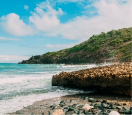
The NPAs of the region include: Punta Picúa & Espiritu Santo River Nature Reserve in Rio Grande; the Northeast Ecological Corridor/Seven Seas Nature Reserve in Luquillo/Fajardo and Las Cabezas de San Juan Nature Reserve in Fajardo. Further towards the east is Medio Mundo y Daguao Protected Area in Ceiba/Naguabo; and the Humacao Wildlife Refuge in Naguabo/Humacao.
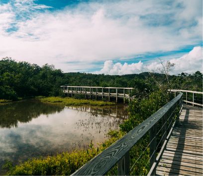
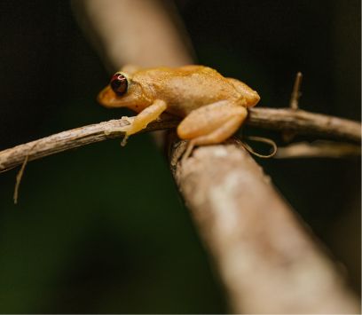
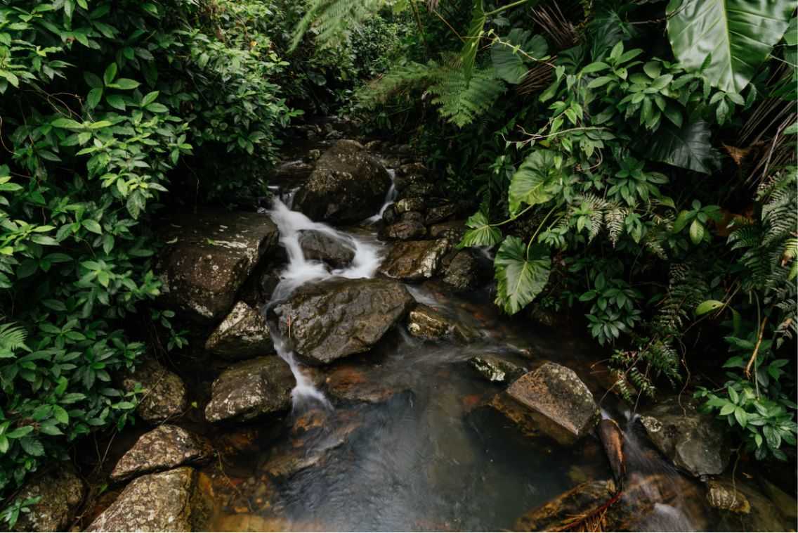
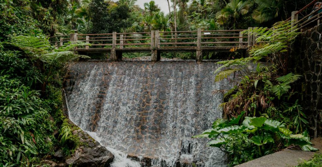
Because of Puerto Rico’s climate and particular geomorphology, a diversity of ecosystems can be found within a short distance of each other. These include wetlands, floodplains, mangrove swamps, pastures, sandy and rocky beaches, coral reefs, marine meadows, rivers, two bioluminescent bays, and tropical flora and fauna.
TOURISM:
The project region is part of what has been defined as the Rio Grande-Fajardo Hospitality Corridor, recognized as the most important resort destination in Puerto Rico. The two municipalities are the 4th and 5th destination for vacationing visitors.
El Yunque National Forest receives over 1.2 million visitors annually.
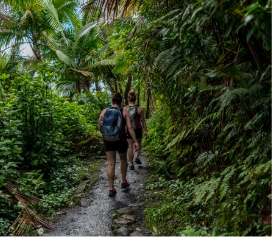
Explore the trail
EXPLORE.
Town I Duration
Lorem ipsum dolor sit amet, consectetuer
adipiscing elit, sed diam nonummy nibh.

PROTECT.
Town I Duration
Lorem ipsum dolor sit amet, consectetuer
adipiscing elit, sed diam nonummy nibh.

LOVE.
Town I Duration
Lorem ipsum dolor sit amet, consectetuer
adipiscing elit, sed diam nonummy nibh.